Maps Port of Rotterdam
Find interactive maps and practical information about the Rotterdam port area, including harbour numbers, waterways, berths, terminals, depots and road accessibility. The page includes the official Harbour Master Port Map, terminal and depot information, the Chemical Container Portmap, the Port of Rotterdam wall map, live webcams and current port information. For the most up-to-date information, use the official interactive resources provided by the Port of Rotterdam Authority.
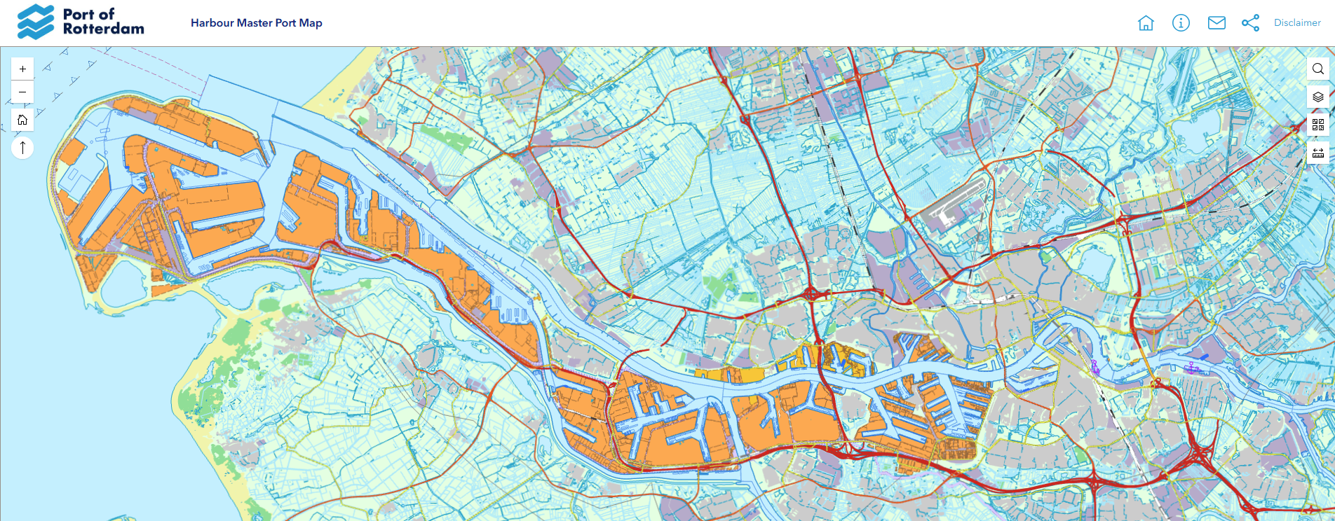
Screenshot of the official Harbour Master’s port map. Use the interactive map via the link below for up-to-date port information. Source: Port of Rotterdam Authority.
Interactive Harbour Master Port Map
Recommended for the most current port information
Interactive Harbour Master Port Map
(opens in new tab)
Use the official interactive map to find waterways, harbour numbers, berths and locations throughout the Port of Rotterdam. The map provides current information for companies, vessels and other port users.
Terminals and depots
Explore terminals and depots for containers, dry bulk, liquid bulk, breakbulk and LNG. The overview also provides information about connections by deep sea, feeder, short sea, road, rail and inland waterway.
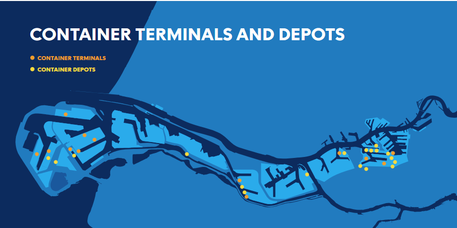
View terminals and depots in the Port of Rotterdam
(opens in a new tab)
Chemical Container Portmap
The Chemical Container Portmap provides an overview of companies and services involved in the handling, storage and transport of containerised chemical goods in the Port of Rotterdam. The map includes container terminals, depots, warehouses, tank cleaning and repair facilities, as well as available transport connections.
View and download the Chemical Container Portmap
(PDF, opens in a new tab)
Please note that this is a static publication. Company and service information may have changed since publication.
Official Port of Rotterdam Wall Map 2025
The official 2025 wall map shows the complete Rotterdam port area, including harbour numbers and a large number of company names. The printed map measures 242 × 84 centimetres and can be ordered through the official Port of Rotterdam website.
View the official Port of Rotterdam wall map 2025
(information in Dutch, opens in a new tab)
Road Transport and Port Accessibility
The Port of Rotterdam is connected to the Dutch and European motorway network via the A15. This overview provides information about road transport, accessibility and the Container Exchange Route on the Maasvlakte.
View road transport and port accessibility information
Live Webcams
View a selection of webcams in the Port of Rotterdam
(opens in a new tab)
Current Port Information
(opens in a new tab)
